Maximizing awareness of helicopter and drone operations in high fire risk areas
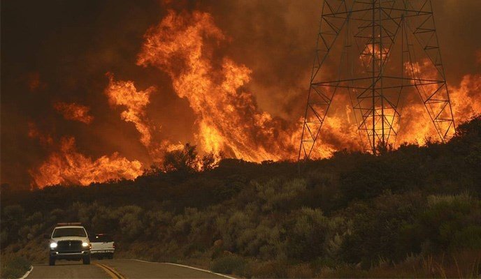
The threat of wildfires in California is greater than ever before, with their prevalence, size, and damage reaching record highs. Utilities have been taking creative approaches to inspect and repair their aging infrastructure in at-risk areas, including aerial inspections via drone and helicopter.
Advanced alerts of helicopter and drone inspections
With an incredibly large service territory and a short window of time in which to inspect potentially at-risk equipment before fire season, it takes a fleet of drones and helicopters flying daily for months to capture high-resolution images of all a utility’s assets. Volatile weather can force aerial operations to be adjusted frequently in order to minimize down-days, and unexpected aircraft over a city can cause confusion and frustration. Proper communication with a variety of stakeholders, both internal to the utility and to its customers, is essential for a successful inspection campaign.
Automated communications using Python, GIS Architecture, and an IMS
To raise awareness of operations, MPR worked to develop an automated notification system, with varying content and frequency fine-tuned to both internal and external stakeholders. An integrated master schedule of all flight plans allowed for the tracking of historical performance, as well as future projections of operations. These projections are linked to a GIS database containing vital geographical boundaries, and the intersections between these boundaries. A Python script was developed to combine and extract data from these sources, as well as custom email templates and recipient lists. Manual input and effort are minimal, and human-error is significantly reduced.
Widespread awareness of operations for internal and external stakeholders
Awareness of aerial inspections was significantly improved and stakeholders and end-users were more satisfied with the content and timeliness of the notifications. The advanced warnings reduced complaints and negative interactions and set the stage for more advanced coordination with sensitive airspace.